Texas State Archives Map Collection
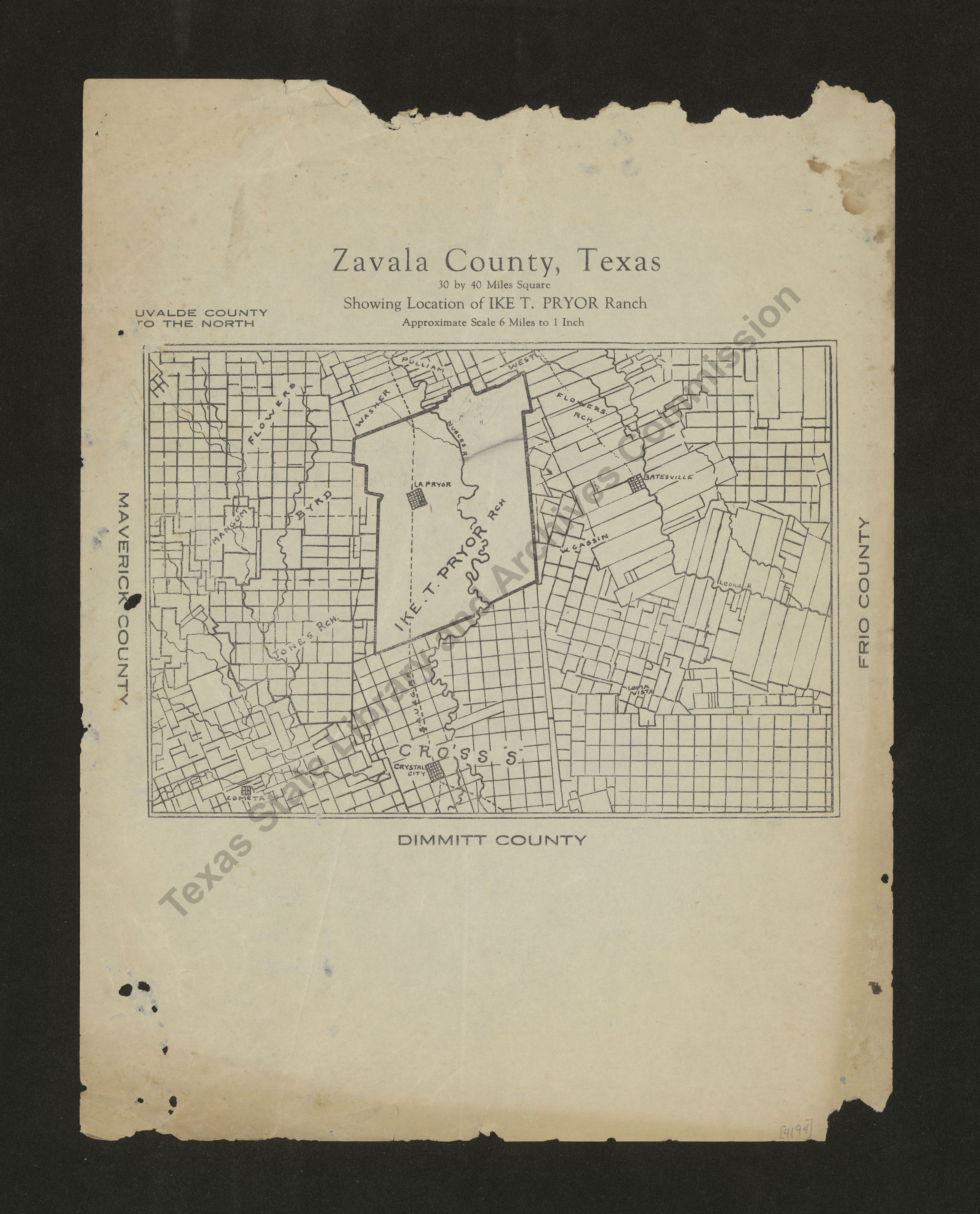
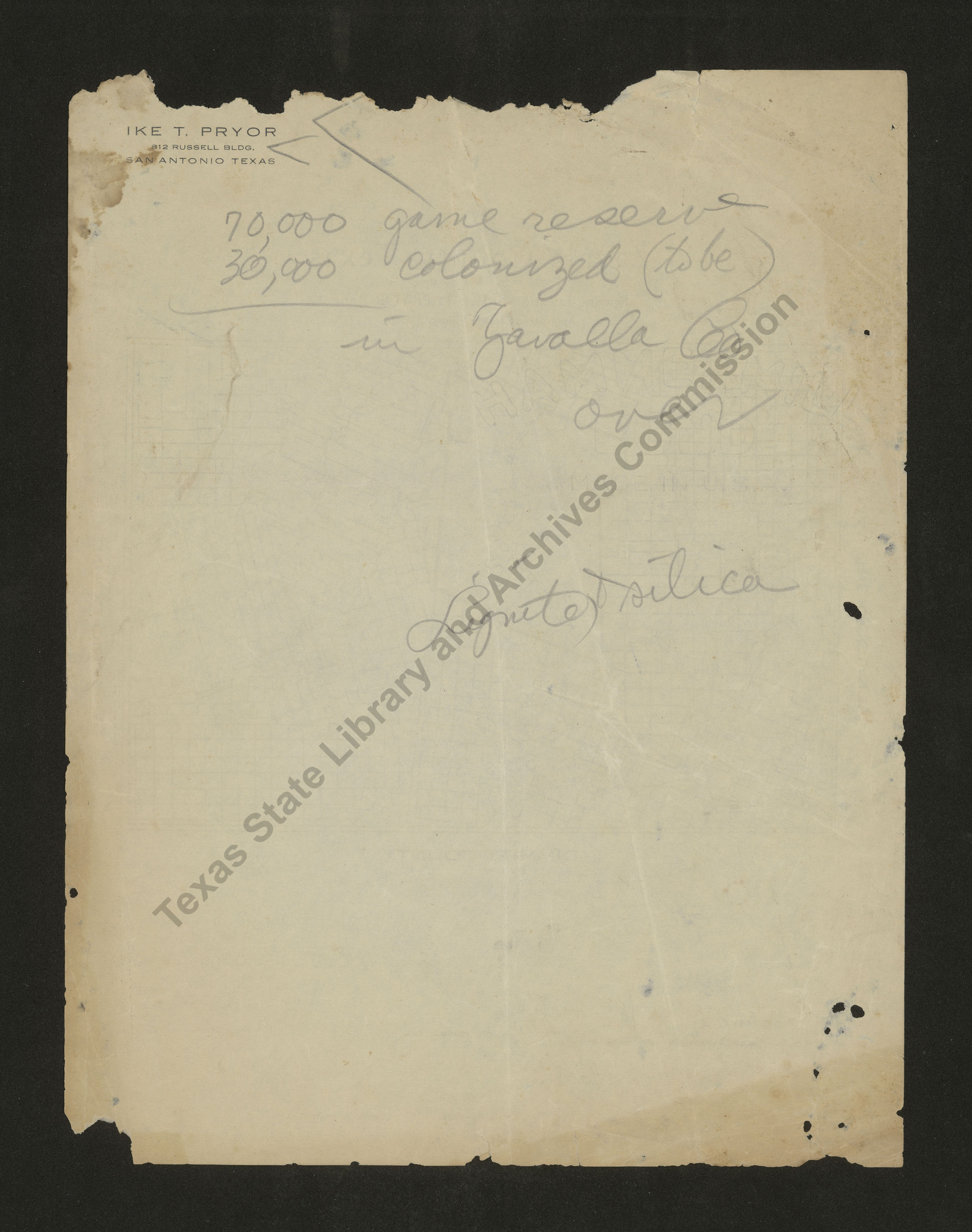
Zavala County, Texas
| Date: | 1920-1930 c |
| Publisher: | -- None Listed -- |
| Cartographer: | -- None Listed -- |
| Scale: | 1 inch = @6 miles |
| Size: | 13 cm x 19 cm |
| Type of Map: | general |
| Format: | black & white, engraved, lithographed, printed |
| Language: | English |
| AC Number: | 04194 |
| Photo Media: | -- None Listed -- |
 View Image
 Download Image

 View Image
 Download Image

Subjects:
The Texas State Archives Map Collection contains original, photo-reproduced, and compiled maps covering the period from the early seventeenth through the late twentieth centuries. For general information about the holdings and descriptive information available, read the map introduction and indexes and types of maps webpages. For our copy policy, view our webpage on preservation, access, and reproductions.
For information on additional maps in our holdings, read Maps in Other TSLAC Collections.