Texas State Archives Map Collection
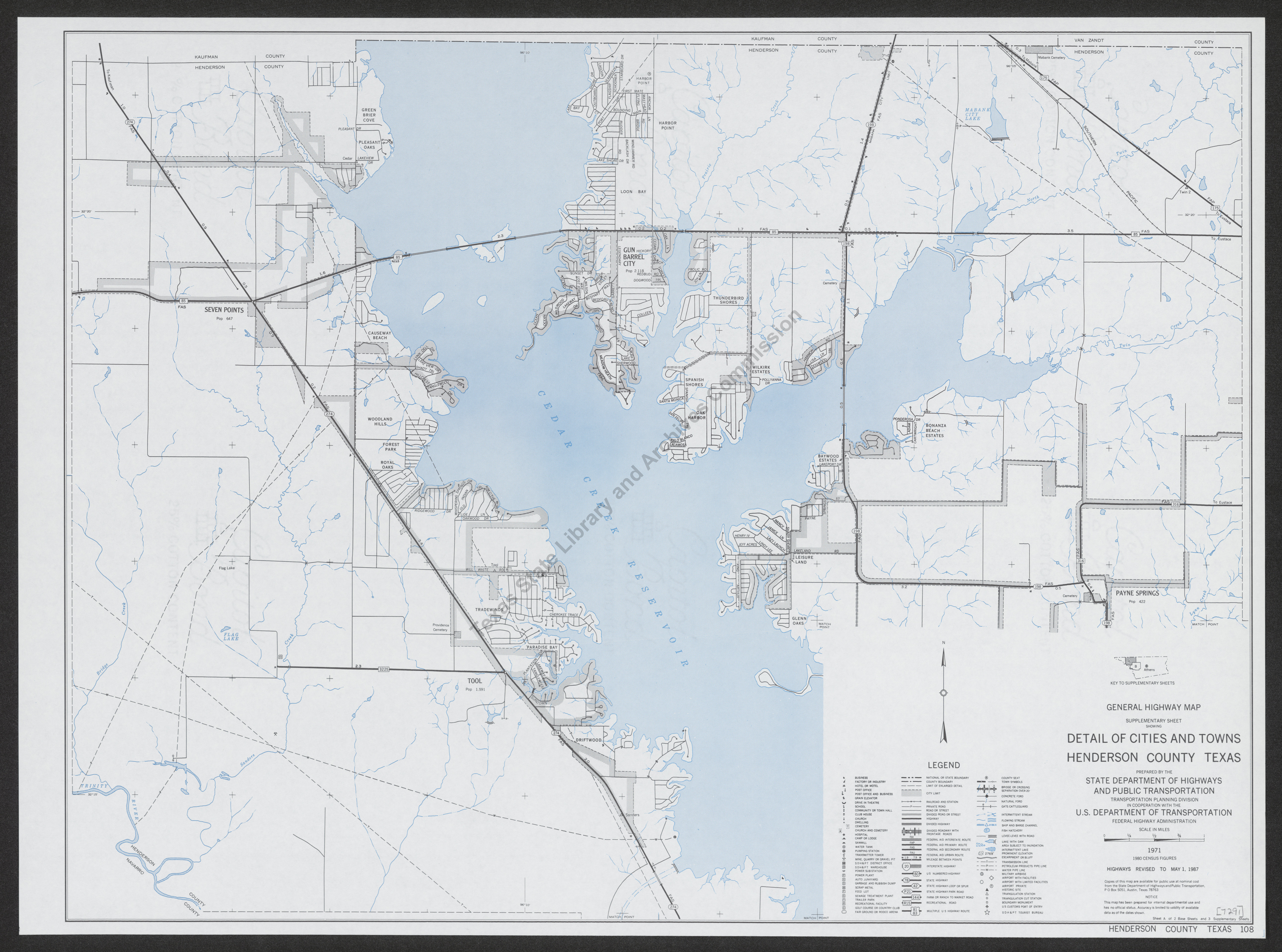
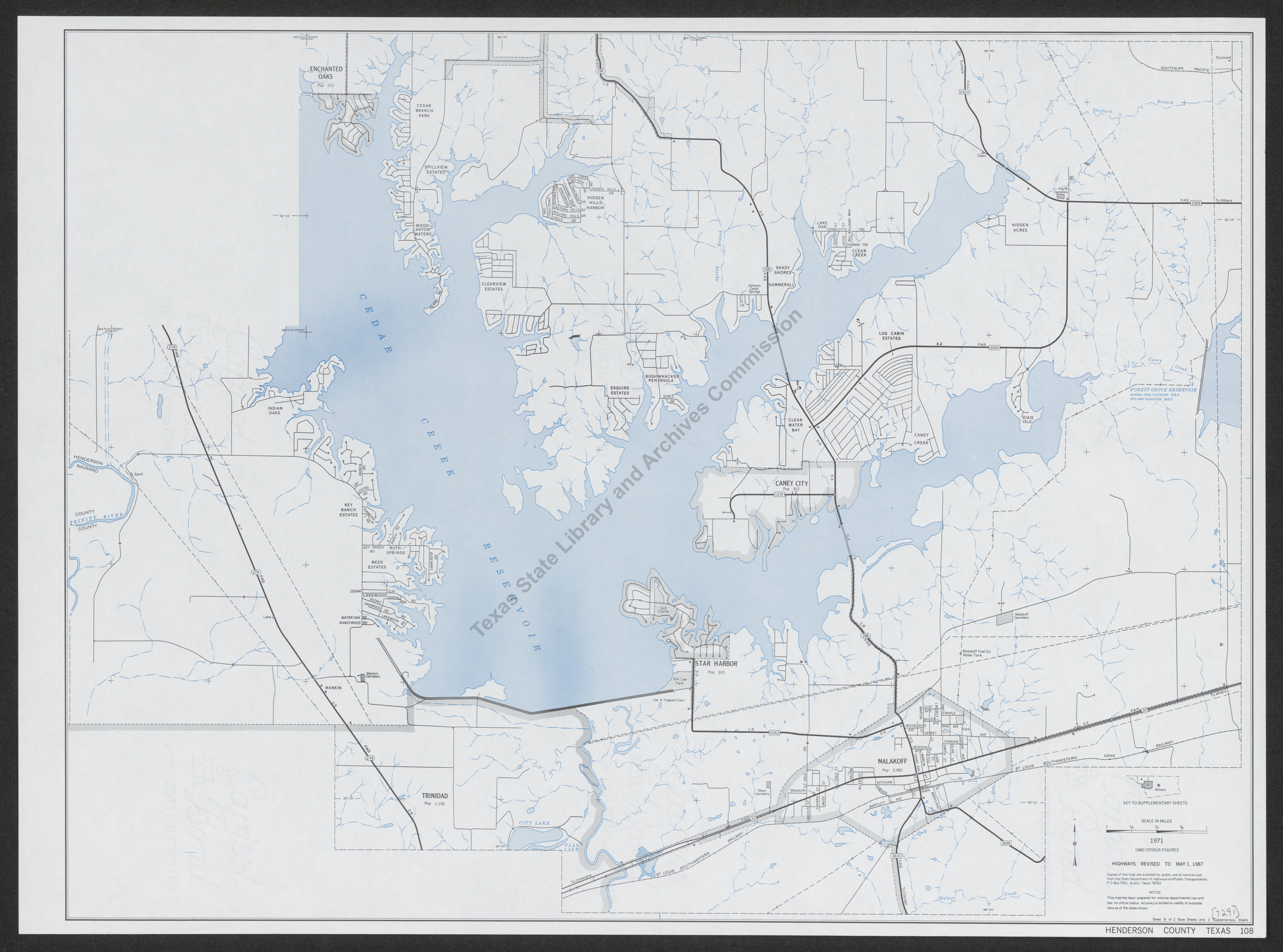
General Highway Map. Detail of Cities and Towns in Henderson County, Texas. Cedar Creek Reservoir vicinity
| Date: | 1987 |
| Publisher: | State Department of Highways and Public Transportation, Transportation Planning Division, in cooperation with the U.S. Department of Transportation, Federal Highway Administration, 1971. .. |
| Cartographer: | -- None Listed -- |
| Scale: | 1 inch = 1/2 mile |
| Size: | 45 cm x 61 cm |
| Type of Map: | street |
| Format: | color, engraved, lithographed, printed |
| Language: | English |
| AC Number: | 07291 |
| Photo Media: | -- None Listed -- |
 View Image
 Download Image
 View Image
 Download Image

Description:
[Pub., cont.] ...Highways revised to May 1, 1987.
This is an inset from map 7290. Shows rivers, creeks, streams, streets, highways (giving mileage between points), bridges, post offices, schools, churches, parks and other recreational facilities, cemeteries, airports, railroads, utility lines, petroleum pipelines, and mines or quarries. Earlier editions are 5512, 5896.
Two sheets, each 45 cm x 61 cm.
6/6/91
The Texas State Archives Map Collection contains original, photo-reproduced, and compiled maps covering the period from the early seventeenth through the late twentieth centuries. For general information about the holdings and descriptive information available, read the map introduction and indexes and types of maps webpages. For our copy policy, view our webpage on preservation, access, and reproductions.
For information on additional maps in our holdings, read Maps in Other TSLAC Collections.